West Summerland B.C.
West Summerland is situated at mile marker 153.5 east of Hope B.C. and at an elevation of 1715 feet above sea level.
Summerland's former name was Trout Creek. In the 1890's George Barclay operated a large cattle ranch in Trout Creek. In 1902, Sir Thomas Shaughnessy bought the Barclay Ranch and formed Summerland; incorporation was not completed until 1906. Downtown Summerland (Siwash Flat) was originally part of the Penticton Indian Reserve No. 3 ( officially exchanged between 1904–06). The subject lands eventually became known as West Summerland. (Wikipedia)
By 1907, Summerland had access to Peachland and Penticton with well-established roads and a ferry service connecting the community with the eastern shore of Okanagan Lake and the community of Naramata.
Andrew McCulloch had designed his route for the Kettle Valley Railway, which after leaving Penticton traveled up to West Summerland and through Trout Creek Canyon as it headed up toward Osprey Lake and beyond. Once the railway opened in 1915, more and more people headed to this region. Fruit orchards and farming were early sources of income for the region, this turned more to vineyards in present day.
West Summerland (present day downtown Summerland) grew up quickly, due to a 1922 fire which destroyed many buildings in the lower town. By the 1920s the present location of downtown Summerland was fully developed.
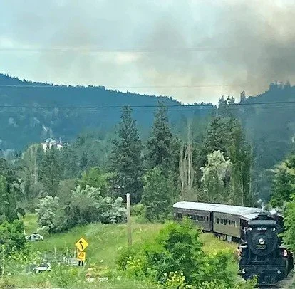
Present day Summerland is the home of the historic Kettle Valley train, which operates on a portion of the original KVR track. https://www.kettlevalleyrail.org/
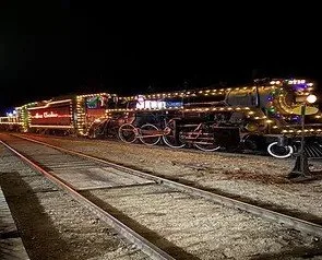
KVR Christmas Train 2021


